BatchGeo
About BatchGeo
BatchGeo Pricing
BatchGeo Pro - $99 per month
Starting price:
$99.00 per month
Free trial:
Available
Free version:
Available

Other Top Recommended Facility Management Software
Most Helpful Reviews for BatchGeo
1 - 5 of 149 Reviews
Brian
Internet, 11-50 employees
Used monthly for more than 2 years
OVERALL RATING:
5
EASE OF USE
5
VALUE FOR MONEY
5
CUSTOMER SUPPORT
5
FUNCTIONALITY
5
Reviewed August 2021
Essential to our Business
100% positive.
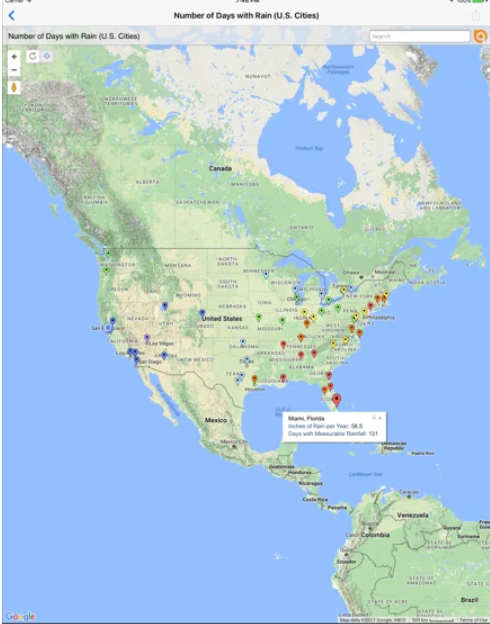
PROSThe best thing about BatchGeo is the ease of use. Using data import tools and the map wizard, we are able to create a useful custom map in under a minute! Then we can share that may across our teams in seconds. This lets us visualize the project we are working on in ways and with speed that is impossible to match using other tools.
CONSThe only thing I can think of is that we can't use the software to markup a map once it has been rendered. We would like to keep the map static but mark or update a location as 'completed' using the same MAP URL.
Reason for choosing BatchGeo
ESRI was simply too expensive for our needs.
Alexandria
Consumer Goods, 51-200 employees
Used weekly for more than 2 years
OVERALL RATING:
4
EASE OF USE
3
VALUE FOR MONEY
1
FUNCTIONALITY
2
Reviewed March 2023
Not worth any money
I like that I can make a map but beyond that BAtchGeo is only trying to make money. I can make the same map on google maps. I just want to use the free functions and you have made it too hard to even do that these days. I loved Batch Geo for a long time but now it is just a pain in the ass and it isnt even accuarate any more. My last map was completely wrong and I have been using the same template for years.
CONSProduct quality and ease of use is way down
Reasons for switching to BatchGeo
Someone reccomended it to me and we had a group account. Since no longer in that group the free functions are terrible but my company is not willing to pay $100/month and for what I use it for thats extreme. Much better tools out there that are not $100/month
Alessandro
Information Technology and Services, 10,000+ employees
OVERALL RATING:
3
EASE OF USE
4
VALUE FOR MONEY
4
CUSTOMER SUPPORT
3
FUNCTIONALITY
3
Reviewed March 2023
Review
The cost is good enough to cover our needs
CONSThe efficiency could be improved overall.
Brian
Financial Services, 10,000+ employees
Used daily for less than 2 years
OVERALL RATING:
4
EASE OF USE
2
VALUE FOR MONEY
2
CUSTOMER SUPPORT
3
FUNCTIONALITY
5
Reviewed March 2023
Great for mapping
Too many emails
PROSLove how you can change the pins manually if needed, quick mapping system
CONSI don't like that it sends me an email every time I make a map, I just want to copy and paste the map somewhere. I wish it could also handle more pins on one map
Reasons for switching to BatchGeo
Easymapmaker was not as good at determining locations and Batchgeo gave me the distances from the subject point on the map
Aj
Capital Markets, 2-10 employees
Used daily for more than 2 years
OVERALL RATING:
5
EASE OF USE
4
FUNCTIONALITY
4
Reviewed March 2023
Batch Geo
enjoyed using mapping out our rental properties
CONSat times it was slow, and always pulled over to adjust/ change which is more difficult than other mapping tool.


