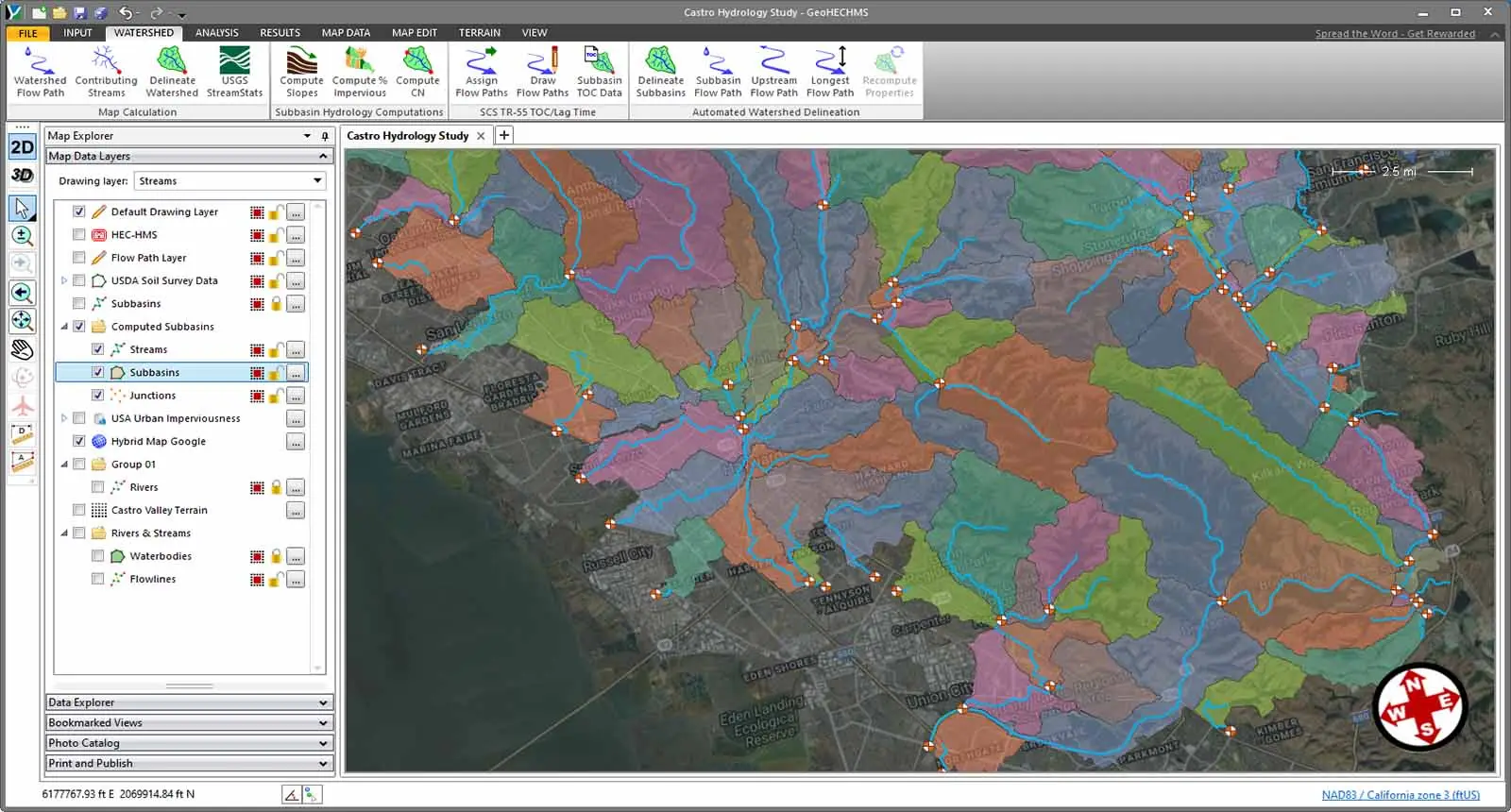
GeoHECHMS
About GeoHECHMS
GeoHECHMS Pricing
Free trial:
Not Available
Free version:
Not Available

Most Helpful Reviews for GeoHECHMS
1 - 5 of 5 Reviews
Eric
Verified reviewer
Civil Engineering, 1,001-5,000 employees
Used weekly for less than 2 years
OVERALL RATING:
5
EASE OF USE
5
CUSTOMER SUPPORT
5
FUNCTIONALITY
5
Reviewed February 2023
Ease of use for reports
Overall the experience is positive. My team has done a lot of testing and continually works closely with the help department. The help desk is normally very quick and has solutions and that results in very limited down time on my end waiting for a response or solution.
PROSThe error messages are nice. It is hard to develop a perfect model from the start. Something always seems to pop up when you do your initial run and the software allows you to keep the error message up and change the error and the error message will typically tell you how to fix the problem.
CONSEven though I use the product regularly I haven't really ran into a lot of problems from Civil GEO's software. The issues I tend to have the most is plotting the results which is typically the Bluebeam software issues.
Baylor
Civil Engineering, 501-1,000 employees
Used weekly for less than 2 years
OVERALL RATING:
5
EASE OF USE
5
VALUE FOR MONEY
5
CUSTOMER SUPPORT
5
FUNCTIONALITY
4
Reviewed May 2023
Amazing Tool For Hydraulic and Hydology Projects
The customer support is very friendly and helpful! They want you to be a happy customer and user of their product. Overall, GeoHECHMS streamlines a lot of work and offers many tools to complete H&H projects.
PROSThe countless tools within this product that makes work much easier and more efficient. The dynamically resampled DEM is one of my favorite tools as well as being able to create and edit GIS files within the program.
CONSThere's a lot to like about this program and not a whole lot to hate. The only request I have is to add a trace tool to trace polylines and polygons. The customer support is amazing, so they'll probably release this in a future update.
jeremy
Civil Engineering, 201-500 employees
Used monthly for more than 2 years
OVERALL RATING:
5
EASE OF USE
5
VALUE FOR MONEY
5
CUSTOMER SUPPORT
5
FUNCTIONALITY
5
Reviewed March 2023
Great Program-Huge Time Saver!
Utilize the program for modeling-determining stream flow to be utilized in Geo-Hec Ras for flood analysis and bridge design.
PROSGeoHEC-HMS is a user friendly program that will save you a great deal of time! If you ever have any issues or questions, the customer service team is very responsive and helpful!
CONSThere are not any features that I do dislike. The program works great and is a time saver,
Reason for choosing GeoHECHMS
The program prevents errors since the interface is interactive and easy to follow. The program also saves time.
Russell
Civil Engineering, 1 employee
Used weekly for less than 6 months
OVERALL RATING:
5
EASE OF USE
5
VALUE FOR MONEY
5
CUSTOMER SUPPORT
5
FUNCTIONALITY
5
Reviewed February 2023
Great time savving tool
I have used this product to compute Probable Maximum Precipitation. It was a lifesaver on a recent project when dealing with an updated regulatory requirements. I was up against a tight deadline and could not get off the shelf HEC-HMS from the Army Corps of Engineers to model what I needed. GeoHEC-HMS really rescued me.
PROSThis is a great time saving software. The HMR 51 and 52 capabilities are invaluable for automating the process for getting the Probable Maximum Precipitation for design and analysis of legal dam impoundments. The software also allows you to quick identify SCS curve numbers appropriate for the watersheds. It also allows for quick import for precipitation data for a particular site without having to manually find it and input the values.
CONSOnline documentation could use some improvement. They do offer excellent "phone a friend" type phone technical support. Sometimes you just need to look up something quickly and engineers tend to be a stubborn and slightly antisocial bunch so the ability to quickly reference something is important. This is pretty common in the industry as a whole though.
Reasons for switching to GeoHECHMS
This product provides a much improved interface and automates a lot of the time consuming processes.
richard
Civil Engineering, 201-500 employees
Used weekly for more than 2 years
OVERALL RATING:
5
EASE OF USE
5
VALUE FOR MONEY
5
CUSTOMER SUPPORT
5
FUNCTIONALITY
5
Reviewed January 2023
Review for GeoHECHMS
Greatly improved processing HECHMS
PROSThe ease of calculating Watershed areas.
CONSI have not found any cons with this software to date.
