

IGiS Desktop
Overview
About IGiS Desktop
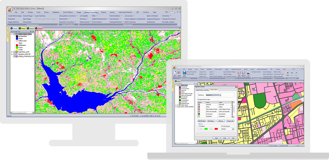
IGiS Desktop is a GIS Software integrated with Image Processing, Photogrammetry, and CAD (Computer-Aided Design) modules. IGiS Desktop aims to redefine the GIS (Geographic Information System)software industry with integrated GIS mapping, and image processing capabilities with advanced analysis extensions on a single platform. It makes collaboration easy with Open Geospatial Consortium (OGC)-supported platforms. Standardized UI and ribbon-based navigation make the user-interface intuitive and interactive.
IGiS enables you to store, manage and edit geospatial data seamlessly. It is an innovative tool that supports data integration for a wide range of geospatial data formats, including real-time and big data. Integration of OGC Standards enables you to store and share dat...
IGiS Desktop Pricing
Free trial:
Not Available
Free version:
Not Available
Other Top Recommended Field Service Software


Most Helpful Reviews for IGiS Desktop
1 Review
Anonymous
201-500 employees
Used weekly for less than 12 months
Review Source: Capterra
OVERALL RATING:
5
EASE OF USE
4
VALUE FOR MONEY
5
CUSTOMER SUPPORT
5
FUNCTIONALITY
5
Reviewed September 2023
Best GIS Software for Visualizing Hospital and Healthcare Data
I used IGiS Desktop for hospita and healthcare data visulisation and management. Also, for predictive analytics and route management IGiS is a best GIS solution.
PROSIt's ata visualization and analysis tool I liked the most, It helped me to collect most accurate data.
CONSNothing I dislike about IGiS Desktop as it has all what I need.