


EOSDA LandViewer
No reviews yet
Overview
About EOSDA LandViewer
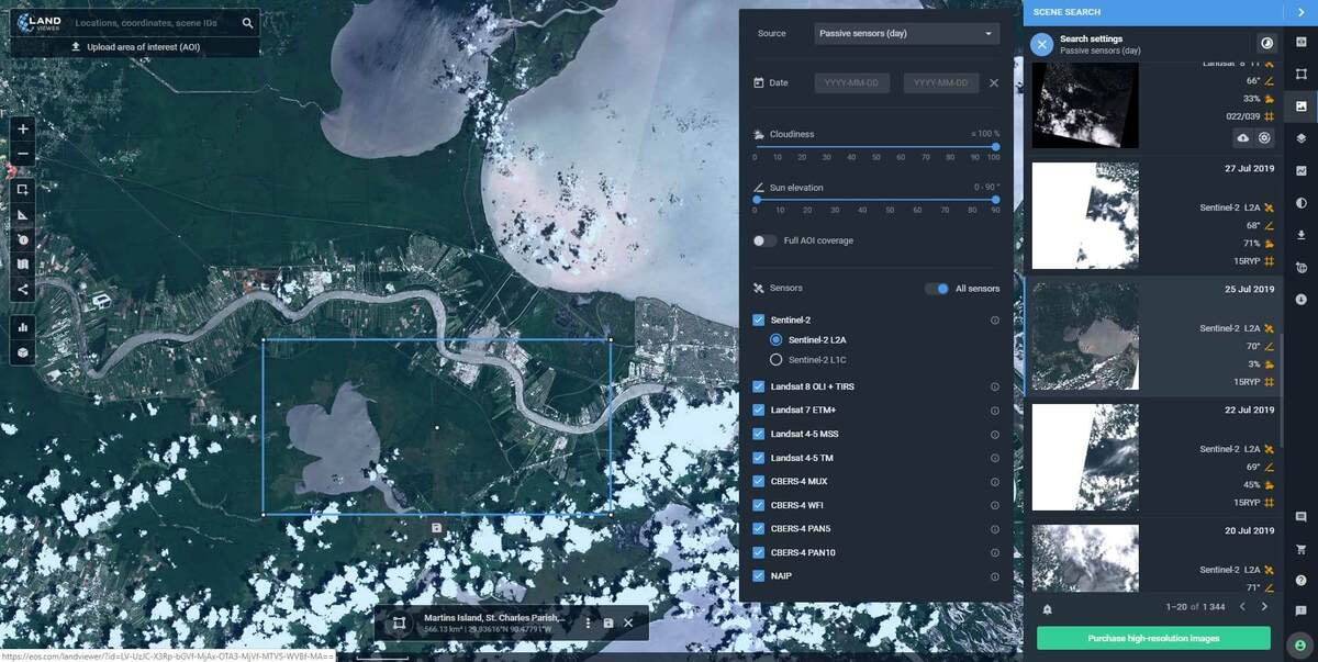
EOSDA LandViewer is a satellite observation imagery application that enables on-the-fly searching, processing, and obtaining important insight from satellite data.
Satellite imagery with a resolution of a range from 0.4 meters per pixel for any AOI can be found in our collection for a reasonable price. Land Viewer's direct ordering of high-quality photos is a very cost-effective and time-saving option.
EOSDA LandViewer concentrates on specific areas of interest in real-time, allowing you to find exactly what you're looking for in a short amount of time. You may quickly download a processed image that meets your needs thanks to on-the-fly spectral index computations, saving time and space on your devices. Take advantage of Land Viewer's display and easy imagery downloa...
EOSDA LandViewer Pricing
Please contact EOS Data Analytics directly for pricing details.
Free trial:
Not Available
Free version:
Not Available
Be the first to review EOSDA LandViewer
Share your thoughts with other users.