


Citywide GIS
No reviews yet
Overview
About Citywide GIS
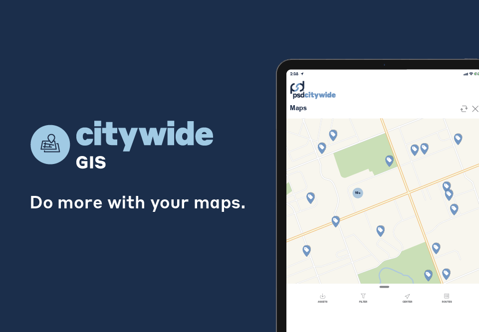
Citywide GIS is an on-premise and cloud-based Geographic Information System (GIS) that provides organizations in the education, utilities, government, and information technology sectors with the capability to view, track, and manage municipal assets.
It enables users to convert elements from aerial imagery or imported GPS data to a digital format for assets like structures and roadways, charting new urban areas and geographical attributes. With Citywide GIS, administrators can centralize the organization's complete GIS data within one secured online repository. Additionally, it allows users to share information, such as road, park, and trail statuses with citizens and use filters, symbols, land parcel, property strata, and text designs to create personalized map pers...
Citywide GIS Pricing
Free trial:
Not Available
Free version:
Not Available
Be the first to review Citywide GIS
Share your thoughts with other users.