


Insurity Geospatial
No reviews yet
Overview
About Insurity Geospatial
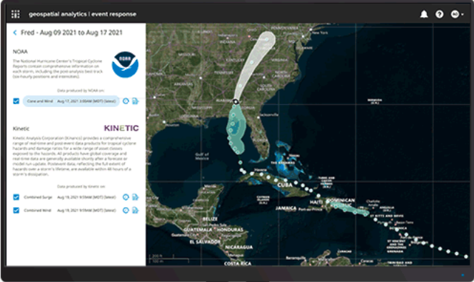
Insurity Geospatial is a cloud-based geospatial analytics solution for property and casualty insurers. It provides access to data from various hazard and event data providers to help insurers gain location intelligence and assess risk. It helps insurers analyze their portfolios to identify concentrations of risk and events that could impact multiple locations.
The solution delivers automated alerts about events, such as storms, wildfires, or floods that could affect insured properties. It also provides underwriters with decision support tools and visualizations to help inform underwriting decisions based on location risk factors.
Insurity Geospatial Pricing
Free trial:
Not Available
Free version:
Not Available
Other Top Recommended Business Intelligence Tools


Be the first to review Insurity Geospatial
Share your thoughts with other users.