


DroneNaksha
No reviews yet
Overview
About DroneNaksha
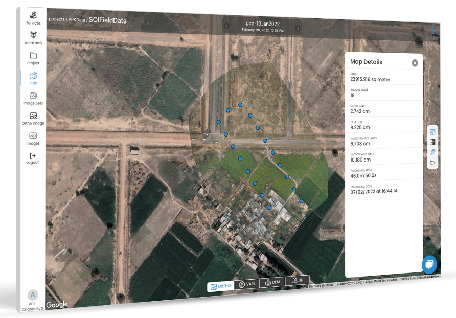
DroneNaksha, offered by AeroMegh, generates data types such as orthomosaic, digital surface model, digital elevation model, and vegetation index, using multiple photogrammetry algorithms. With DroneNaksha, users can monitor construction progress, measure and map distances of roads and railway tracks, conduct forest surveys, and plan urban development.
DroneNaksha Pricing
Review a range of pricing plans available to find the best fit for your business or get started with a 15-day free trial.
Starting price:
₹3,875.00 per month
Free trial:
Not Available
Free version:
Not Available
Other Top Recommended Facility Management Software


Be the first to review DroneNaksha
Share your thoughts with other users.