

TcpMDT Professional
No reviews yet
Overview
About TcpMDT Professional
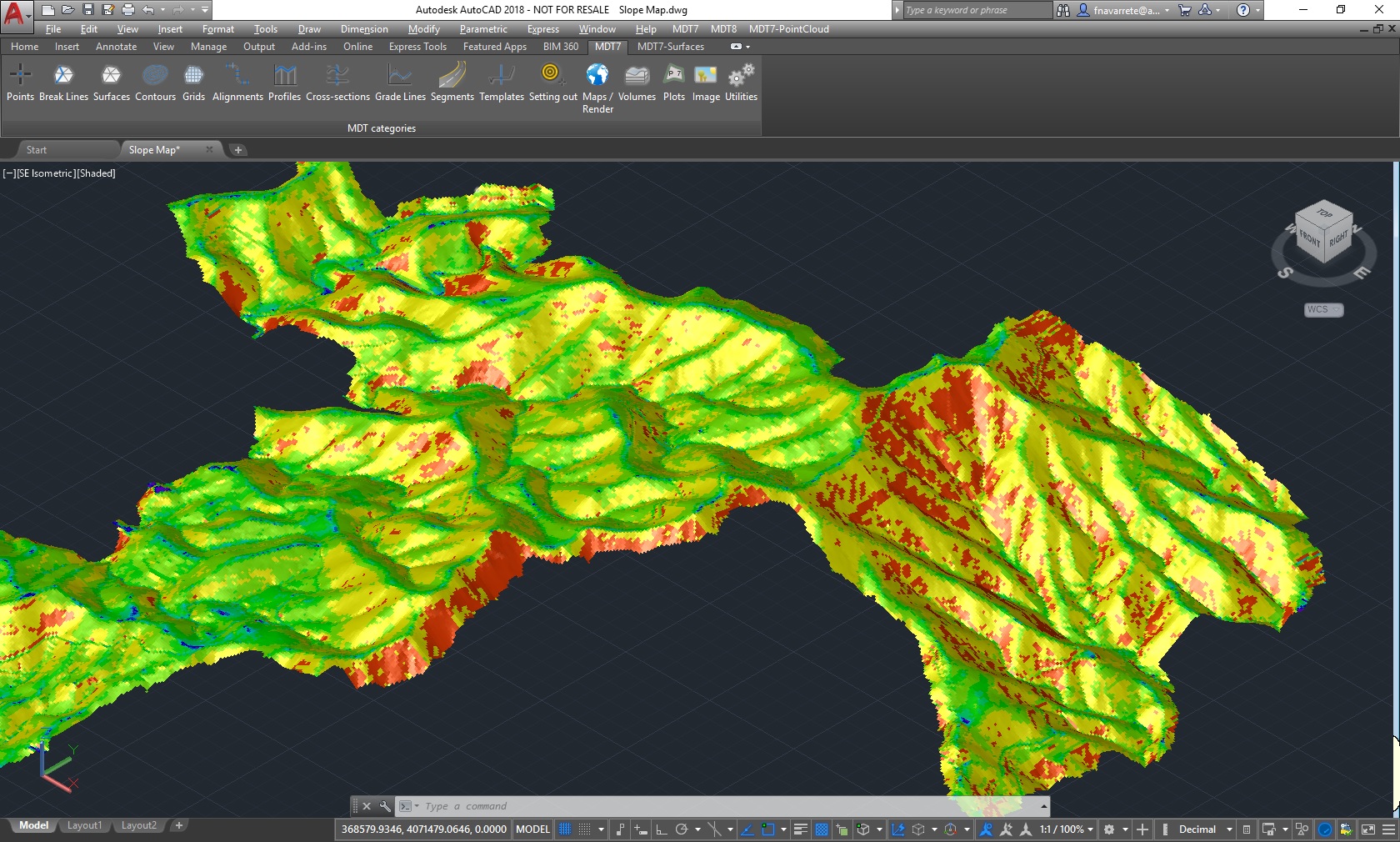
TcpMDT includes all features of standard version and provides tools for designing horizontal and vertical alignments, drawing the project templates, area and volume reports, setting-out, virtual tour, measurements and quotations, water, sewerage and rainwater networks, etc. This software is suitable for all kind of surveying projects for roads, urbanizations, quarries... It is easily integrated into OpenBIM workflows, through exchange of IFC and LandXML files.
TcpMDT can run on ZWCAD, BricsCAD, AutoCAD and GstarCAD. It has a wide range of easy-to-use tools. Its modular structure allows users to choose the most suitable options for their work.
TcpMDT Professional Pricing
Free trial:
Available
Free version:
Not Available
Be the first to review TcpMDT Professional
Share your thoughts with other users.