Canvas X Geo
Overview
About Canvas X Geo
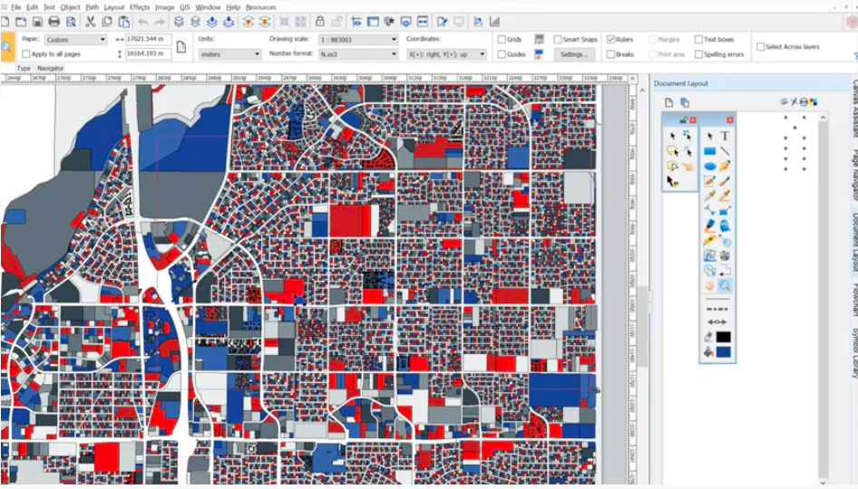
Canvas X Geo is a data illustration software for geospatial data. With a powerful graphic toolset, users can view GIS data visualizations down to granular details and measure and position objects with extreme precision. Canvas X Geo can display and filter in over 70+ geospatial data formats and import documents with over one million objects in high resolution to create rich visualizations.
Canvas X Geo Pricing
$299.00 for 1 year, $719.00 for 3 years
Starting price:
$299.00 per year
Free trial:
Available
Free version:
Not Available

Other Top Recommended Facility Management Software
Most Helpful Reviews for Canvas X Geo
2 Reviews
Eloisa
Accounting, 2-10 employees
Used weekly for more than 2 years
Review Source: Capterra
This review was submitted organically. No incentive was offered
OVERALL RATING:
5
EASE OF USE
5
VALUE FOR MONEY
5
FUNCTIONALITY
5
Reviewed April 2023
I Like Canva a lot and it is very practical and useful
Excellent
PROSI use it to make the baners and digital advertising and its easy to use.
CONSsome design msut be paid for and It does not have short videos with more modern images
Andrea
Business Supplies and Equipment, 1 employee
Used weekly for less than 6 months
Review Source: Capterra
This review was submitted organically. No incentive was offered
OVERALL RATING:
4
EASE OF USE
5
VALUE FOR MONEY
4
CUSTOMER SUPPORT
4
FUNCTIONALITY
5
Reviewed March 2023
Canvas Geo
PROS
facil de usar ,necesite ayuda pero pude usarlo
CONScon ayuda pude usarlo, me gusto conocerlo


