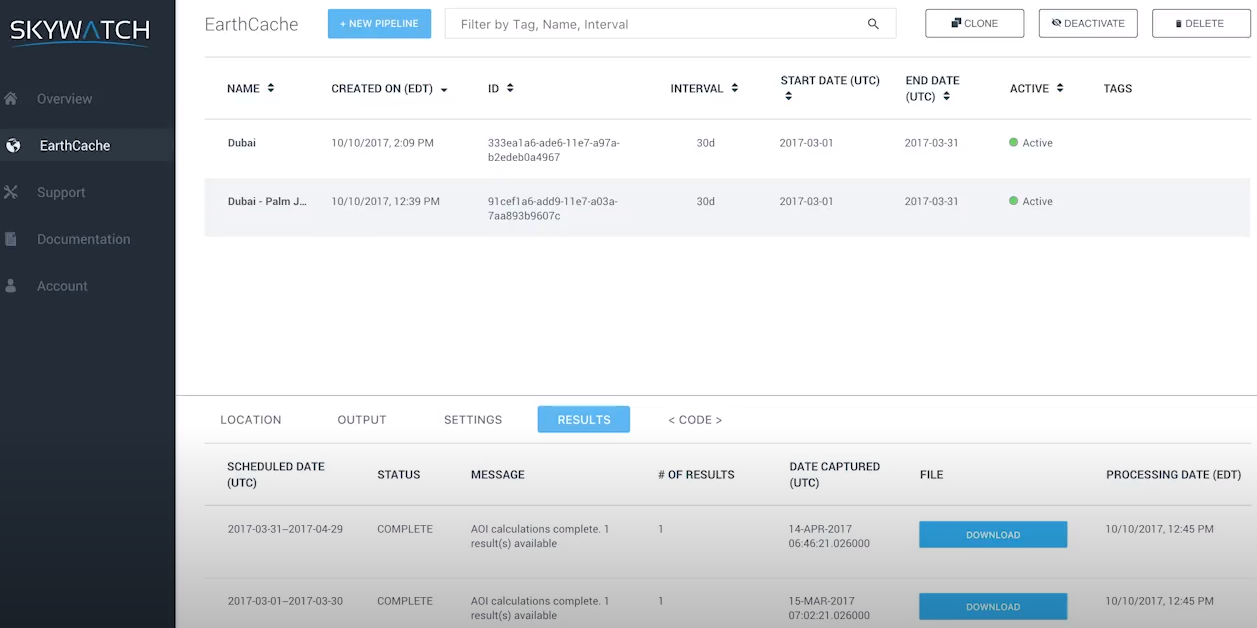
EarthCache
About EarthCache
EarthCache Pricing
Please contact SkyWatch Space Applications for pricing details
Free trial:
Available
Free version:
Available

Other Top Recommended Facility Management Software
Most Helpful Reviews for EarthCache
3 Reviews
Adrián
Verified reviewer
Airlines/Aviation, 501-1,000 employees
Used monthly for less than 12 months
OVERALL RATING:
4
EASE OF USE
3
VALUE FOR MONEY
4
FUNCTIONALITY
4
Reviewed July 2021
The right soft to get satellite image
I use some satellite images to work on environmental issues and this soft has the perfect quality/price ratio.
PROSYou can get a satellite image within a few minutes, with a ultra high quality and not too expensive.
CONSCustomer service sometimes takes a long time to answer, but generally, they will solve any issue you have.
Reason for choosing EarthCache
Has a better quality/price ratio than other similar software.
David
Food & Beverages, 11-50 employees
Used weekly for less than 12 months
OVERALL RATING:
4
EASE OF USE
4
VALUE FOR MONEY
5
CUSTOMER SUPPORT
5
FUNCTIONALITY
4
Reviewed September 2020
Good quality product, helpful support
Experiment on different forms of satellite imagery, take bite sized pieces without blowing the budget. Once have it right can easily consume the data.
PROSMakes it easy to consume satellite imagery in bite size pieces, test out new use cases and then set up automation once you have it right. The support team have been very responsive and helpful from day 1.
CONSBasemap could be satellite image so you can draw the area you want to monitor. When it's grey, means I have to create KMZ / KML in another tool, export and then import into the product.
Vendor Response
Thanks. We are happy you are enjoying EarthCache. In case you didn't know, you can toggle between a grey map and a satellite base map right within your dashboard. The toggle option is located in the top right corner of the map. Hopefully this helps.
Replied September 2020
Anonymous
1,001-5,000 employees
Used weekly for less than 2 years
OVERALL RATING:
4
EASE OF USE
5
VALUE FOR MONEY
4
FUNCTIONALITY
4
Reviewed August 2021
EarthCache is a powerful tool for GIS projects
It is a perfect soft to buy cheap and high quality images that you can use perfectly with any analysis software
PROSThe quality of images are beyond my needs. The simple way to buy an image is perfect for people who need a high quantity of images to analize with projects all over my country. The prices are cheaper than other software or webpages that sell images too.
CONSSometimes, the data of the image is not working with my QGIS software, or doesnt fit on it, but i think is a problem with the configuration of my program and not about the data of the image you buy.


